Can satellites combat wildfires? Inside the booming ‘space race’ to fight the flames
As the threat of wildfire worsens in California and across the world, a growing number of federal agencies, nonprofit organizations and tech companies are racing to deploy new technology that will help combat flames from a whole new vantage point: outer space.
New satellite missions backed by NASA, Google, SpaceX, the California Department of Forestry and Fire Protection and other groups were announced this week and promise to advance early wildfire detection and help reduce fire damage by monitoring Earth from above.
Collectively, the roster of big names, billionaires, government groups and nongovernmental organizations reflects a considerable interest in using new technology to solve some of humanity’s biggest problems.
Among them is the Earth Fire Alliance, a global nonprofit coalition that recently unveiled its vision for a constellation of more than 50 satellites that will focus specifically on wildfires and their ecological effects.
Known as FireSat, the orbiting surveillance network will scan the globe every 20 minutes in search of wildfire activity — analyzing the landscape across six spectral bands that can spot signs of fires through clouds, smoke, darkness and extreme sunlight, according to the organization. The first three satellites will be launched and operational by 2026.
“It’s really a game-changer when it comes to resource allocation, because now we have this really high-fidelity picture that’s very, very granular of every single fire, which will ultimately help us better deploy resources in a much more efficient manner,” said Chris Anthony, an Earth Fire Alliance board member and former chief deputy director at Cal Fire.
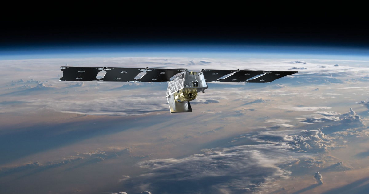
Earth Fire Alliance’s FireSat Constellation will consist of multiple Muon Halo satellites equipped with state-of-the-art 6-band multispectral infrared (IR) instruments designed to detect and track the impact of wildfires across the planet.
(Muon Space)
Data and images gathered from FireSat will not only inform crews about the location of fires, but also how hot they are and how fast they are moving — helping to guide firefighting, emergency operations and evacuations, Anthony said.
He noted that during his career battling blazes, he often wondered when California would use its reputation as a global hub of technology and innovation to tackle the issue of wildfires.
“With every large wildfire we have — and the emissions and the carbon that’s released in that smoke — I feel like we’re in this negative feedback loop, which is going to be really hard for us to get out of,” he said. “And I strongly believe that technology and innovation is a core component of our ability to turn this ship in the other direction. I mean, we have to — I don’t think we have a choice.”
Indeed, while California has enjoyed two relatively tame fire seasons thanks to back-to-back wet winters, the threat has not dissipated.
The state has experienced the majority of its largest, deadliest and most destructive blazes since the year 2000, according to data from Cal Fire. The state’s worst wildfire year on record, 2020, saw nearly 4.4 million acres burn and the state’s first million-acre fire, the August Complex.
Experts say wildfires here are expected to grow larger, faster and more frequent in the years ahead due in part to warmer and drier conditions driven by human-caused climate change, as well as vegetation buildup and forest management practices. Similar trends are expected globally, where wildfires are projected to increase 30% by mid-century, according to the United Nations.

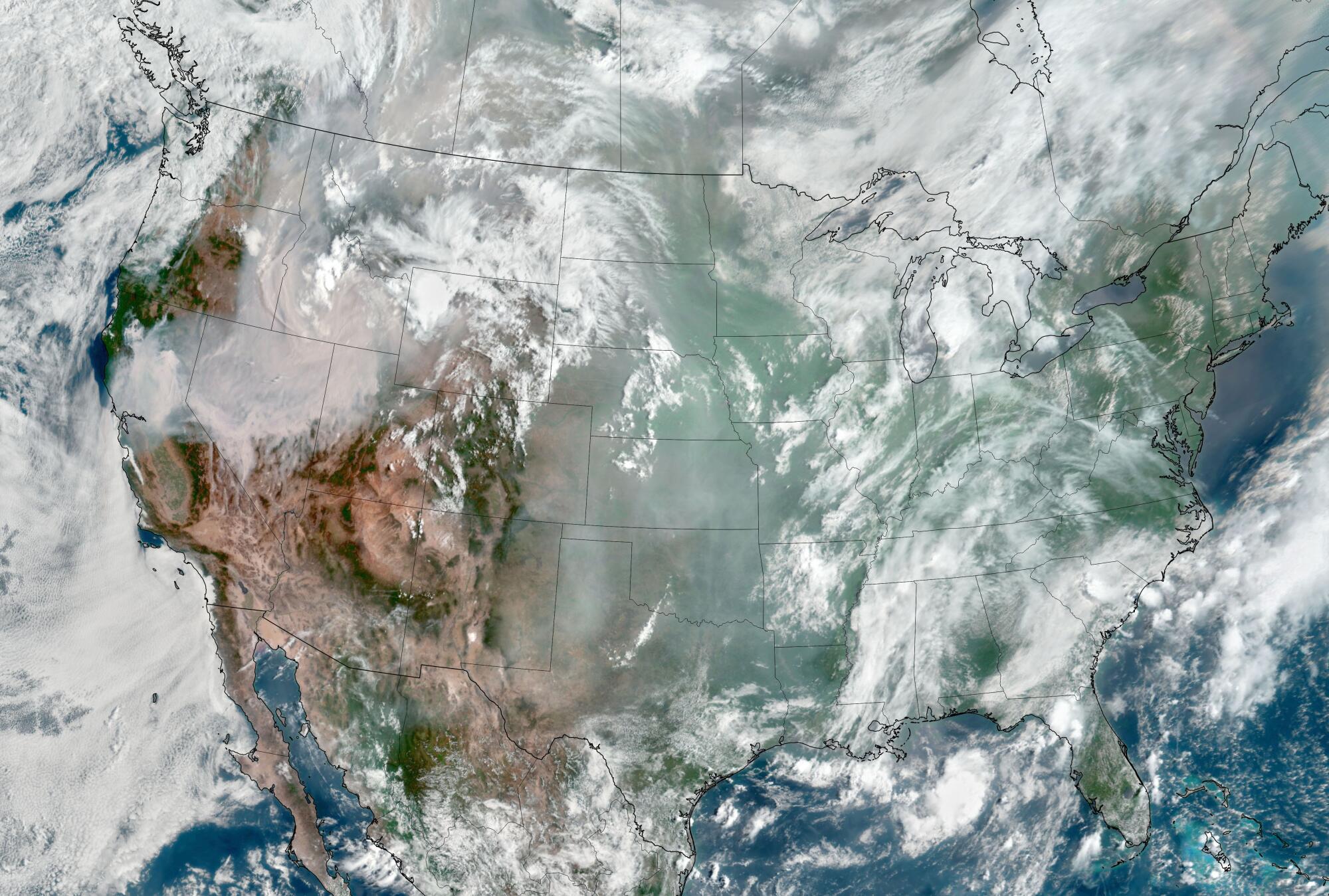
Images taken by the Geostationary Operational Environmental Satellite 17 (GOES-17) show smoke blanketing portions of the western United States at the time of the Dixie fire, in August 2021.
(Courtesy of NOAA and the National Environmental Satellite, Data, and Information Service)
Earlier this year, Texas experienced its largest wildfire on record, which burned through more than a million acres, claimed two lives and killed at least 7,000 cattle.
Last year, a relentless procession of fires seared more than 45 million acres across Canada and sent noxious smoke billowing into parts of the United States and all the way to Europe.
“Even though California has been at the epicenter of so many large and destructive fires, it is becoming super clear that the wildfire problem that we have right now isn’t just a California, or a Western states, problem, but it is truly a global issue that we need to resolve,” Anthony said.
The Earth Fire Alliance’s satellites will join similar missions from NASA and the National Oceanic and Atmospheric Administration. The agencies announced this week that they will soon launch GOES-U, the last in their series of four advanced weather satellites, which provide continuous monitoring of much of the Western Hemisphere.
Roughly the size of a small school bus, the GOES-U satellite was designed and built in partnership with defense contractors Lockheed Martin and L3Harris. It will lift off on June 25 aboard a SpaceX Falcon Heavy Rocket from NASA’s Kennedy Space Center in Florida, and will provide rapid data for tracking severe storms, including destructive wildfires and their smoke, as well as tropical systems, floods, lightning, snowstorms, dense fogs and other hazards, officials said.
“NOAA’s geostationary satellites are an indispensable tool for protecting the United States and the 1 billion people who live and work in the Americas,” Pam Sullivan, director of NOAA’s Office of Geostationary Earth Orbit Observations, told reporters Wednesday.
GOES-U — which will be renamed GOES-19 once in orbit — will scan the Earth every 10 minutes, and can zoom in to track dangerous storms and hazards with 30-second updates, she said.
It will also carry the first operational compact coronagraph that will help detect space weather for early warnings of disruptions to power grids, communications and navigation systems. Earlier this month, a powerful geomagnetic storm prompted some reports of such impacts.
The GOES series will play a critical role in hurricane tracking, but perhaps its “biggest game-changing aspect” is its ability to detect wildfires, said Dan Lindsey, a program scientist with NOAA.
“We knew it could detect fires, of course, but it is able to do this in a much more impressive way than we foresaw,” Lindsey said. He said the GOES series has already detected fires the size of a small barn, but the new imaging tools will have four times better spatial resolution on its fire detection band.
“This is important because it allows us to get the word out to emergency responders, firefighters and take care of those fires as quickly as possible,” he said.
Experts are also experimenting with more terrestrial technology to combat conflagrations, including the use of artificial intelligence tools to fight wildfires in California.
One program — a Cal Fire partnership with UC San Diego’s ALERTCalifornia system announced last year — includes more than 1,000 high-definition cameras across the state that use AI to scan the landscape and alert fire crews to burgeoning blazes.
The system is already proving effective, with its pilot program flagging dozens of fires before 911 calls came in, officials said.

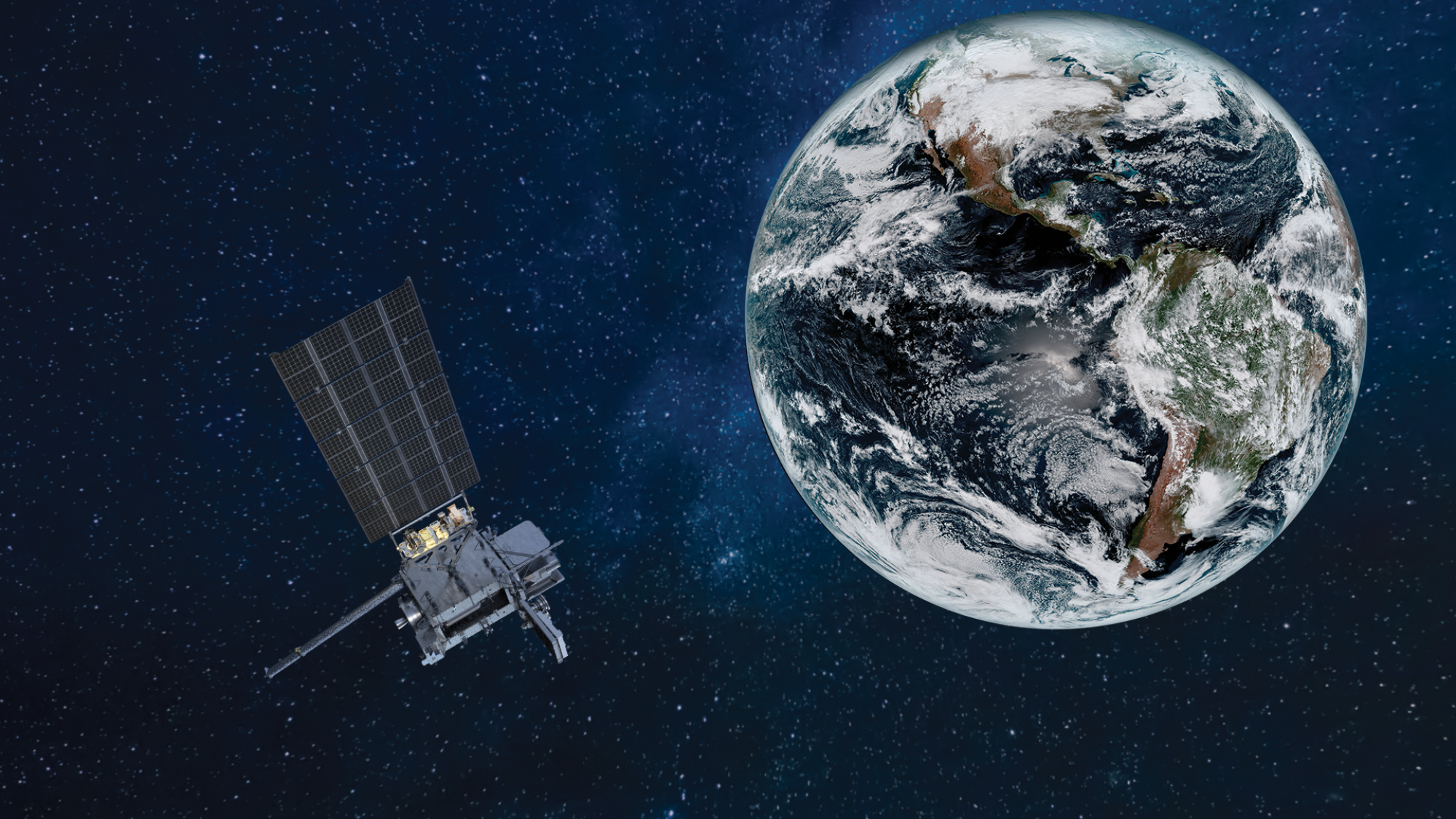
A rendering of a GOES-U satellite orbiting Earth.
(NOAA / Lockheed Martin)
Still, space is its own frontier which brings with it its own set of challenges. Rocket launches are known to emit considerable planet-warming carbon dioxide, along with black carbon, methane and other pollutants.
Last fall, a United Nations report also warned of new risks from growing space debris — including roughly 8,300 satellites and 35,000 other tracked objects that are circling the Earth, many of which are used for weather monitoring, early warning systems and global communications.
Too many orbiting objects run the risk of collision, which could set off a chain reaction that takes those systems offline, the report said.
But new regulations and designs are helping to mitigate some of those risks, said Brian Collins, interim executive director at Earth Fire Alliance. The potentially life- and property-saving benefits of the technology are also part of the balance.
A new economic report published by the alliance and the consulting firm Mandala Partners found that early detection of fires could reduce annual direct fire damage costs by approximately $1.2 billion across the U.S., Australia and Southern Europe. Wildfires in the U.S. alone cost about $11.3 billion annually, with property damage accounting for a large part of that — a trend that has already seen some insurers flee the Golden State and other fire-prone regions.
Indirect costs from fires in the U.S. could be as large as $415 billion annually, including labor productivity losses and health costs, the report found. Almost half — 46% — of the wildfire costs are borne by local communities and businesses.
The Earth Fire Alliance’s suite of satellites will fly at a lower orbit — about 370 miles from Earth compared with NOAA’s 22,000 miles — affording even more granular information in real time, Collins said.
“We view it as complementary to the big, heavy lift systems that NOAA and NASA produce,” he said. “Knowing where a fire is — on this side of the road or that side of a road, or on one side of a hill or another — is very important to the ecosystem and to the first responders.”
The Earth Fire Alliance raised $12 million in its early round of investments, and is on its way to securing an additional $50 million to $60 million to get the first three satellites into space, he said. The full constellation of 50 or more satellites will require about $300 million to $400 million, some of which will come from partnerships.
The alliance’s supporters include Google.org, the Environmental Defense Fund, the Minderoo Foundation and the Gordon & Betty Moore Foundation.
It made sense to tackle the issue of wildfires through the nonprofit structure, which can move more nimbly than government agencies that are tied to specific funding cycles, Collins said. However, data captured by FireSat can be integrated with NASA and NOAA and will be provided to all users for free.
“The reason for the organization was largely those two things — capturing a budgetary process, and interest and passion that can move a little quicker,” he said. “This was a nice blend to fill a gap of a capability while advancing the mission.”
Anthony, the former Cal Fire chief, said the FireSat program will not only help guide attacks on ongoing fires, but also provide an added layer of intelligence around prescribed fires, or fires that are intentionally set to clear vegetation and preserve forest health. For instance, the tools can help assess the right time to apply prescribed fire, track the fire’s intensity and integrate it with fire modeling.
The thousand-mile view afforded by the satellites will mark a new era of firefighting tools with a fidelity and resolution that have never been seen before, Anthony added.
“You can understand anything if you can see everything,” he said.

